Contains public sector information licensed under the Open Government Licence v3.0.
Offroad rights of way
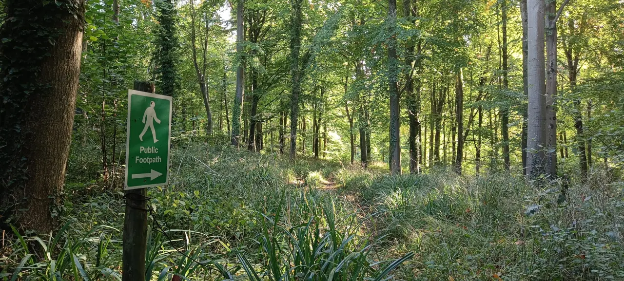
This map shows routes where offroad rights of way to cycle exist around Somerset, these include Bridleways, Restricted Byways, Cycle Tracks and BOATs. You can also choose to view routes where you can "only" walk or run i.e. footpaths. More on rights around cycling and footpaths to come.
The data used to show routes is maintained by Somerset Council - it may not be up to date and is for guidance only.
Permissive paths
Unfortunately permissive paths are not published by Somerset Council, so are less feasible to keep updated on the map. If I can find the mapping data, I will add a permissive layer.
